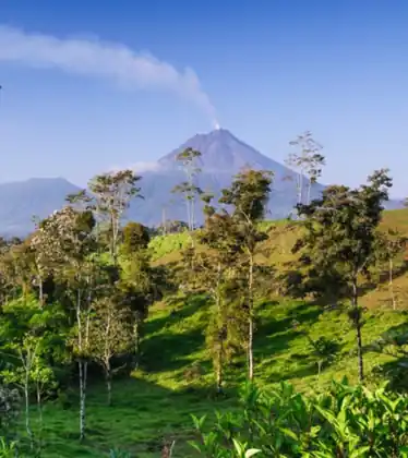
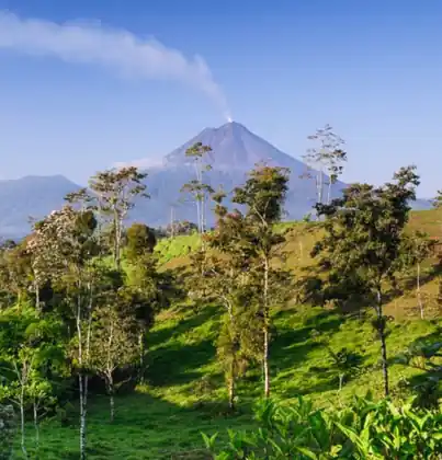
The geography of Costa Rica is a narrow bridge between North and South America, with the Pacific Ocean on one side and the Caribbean Sea on the other. The country covers about 51,100 square kilometers, similar in size to Denmark or West Virginia. Four mountain ranges run down the middle. The volcanoes visitors come to see are Poás, Arenal, Irazú, and Rincón de la Vieja.
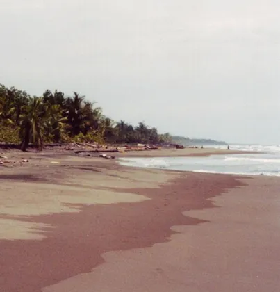
About 51,100 square kilometers, similar in size to Denmark or West Virginia. The Pacific coast is the long one. The Caribbean coast is short. You can cross from dry forest to cloud forest in a day, because the country is narrow. The drive still takes longer than the map suggests, since the mountains run down the middle.
That size is why people try to see too much. Two coasts and a volcano in one week is three trips. Getting around is the practical version of the map.
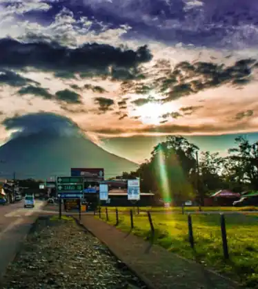
Four ranges form the spine: Guanacaste, Tilarán, the Central Volcanic Range, and Talamanca. Chirripó, in Talamanca, is the highest point at 3,821 meters. It is not a volcano. Active volcanoes include Poás, Irazú, Turrialba, and Rincón de la Vieja. Arenal is the cone most visitors photograph, near La Fortuna. Rivers drop from these ridges to both coasts. The Pacuare and Reventazón run east. The Tempisque drains the dry northwest into the Gulf of Nicoya.
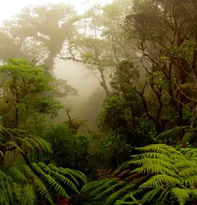
Costa Rica is often cited as holding about 5 percent of the world’s known species. More than a quarter of the country is in national parks, reserves, or refuges. The Pacific slope is the long one, so dry forest in the North Pacific and rain forest on the Osa Peninsula are both “the Pacific.” The Caribbean slope is short and wet, lined with canals and reef. Cloud forest, as at Monteverde, is the band where the wind hits the ridges and stays.
That is why a short drive from the Central Valley can reach cloud forest or a Pacific beach. The weather guide explains why the temperature changes on that drive. The provinces guide names the seven political regions that sit on this map.
The parks worth planning around are the ones with a town beside them.
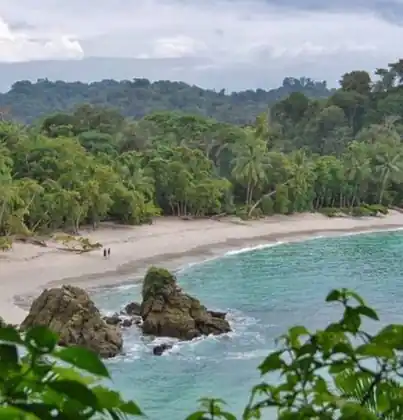
Manuel Antonio, next to Quepos, is the short Pacific park. Corcovado, on the Osa, is reached from Drake Bay or Puerto Jiménez. Marino Ballena, at Uvita, is the whale-tail beach. Las Baulas, at Playa Grande, is the leatherback beach. Cahuita is the reef you can walk to. Tortuguero is the canal park, and there is no road in. Poás and Arenal are the volcano parks. Santa Rosa, in the far north, holds Witch's Rock. You do not drive onto that beach.
A park day needs the morning. Gates and boats do not wait for a late start. Which parks to plan around is in national parks in Costa Rica.
San José to Jacó is the easy Pacific: about two hours, one mountain, then the coast. San José to La Fortuna is the volcano drive, about three hours, with Arenal at the end. San José to Puerto Viejo is the long one, across the mountains to the Caribbean, and it takes most of a day.
If a plan needs two of those in one day, the day is too full. Sleep on the near side of the mountains and cross in the morning. None of the three is a drive to start after dark.