- Open every day, 8:00–16:00, as of 31 Oct 2026.
- The ICT lists entry at US$5 for foreigners and ₡1,000 for Costa Ricans. Confirm by phone, as of 31 Oct 2026.
- The last 5 km to the station, past Finca Cartagena, are a signed gravel road, as of 31 Oct 2026.
- The trails are in better shape from February to April, as of 31 Oct 2026.
Hitoy Cerere Biological Reserve
Costa Rica
Remote rainforest in the Talamanca foothills, with fast, rocky rivers and waterfalls. The access is rough, and few people visit.
Check before you go
Facts
Run by: SINAC, La Amistad Caribe Conservation Area (ACLAC).
Created: 1978 (Decree 8351-A).
Size: 9,917 ha in the cantons of Limón and Talamanca.
Altitude: 100 to 1,025 m, up to Cerro Bitárcara.
Wildlife: About 40 mammal species, over 230 bird species, and about 30 species each of amphibians and reptiles.
Name: From two Bribri words: hitoy, for the woolly green cover of moss, and cerere, clear water.
Contact
Reserve: +506 2206 5516
Checked with official sources, as of 31 Oct 2026.
Map
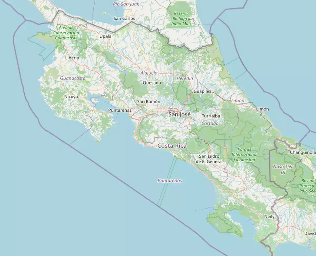
- Rivers and waterfalls: Fast, rocky rivers, some with waterfalls tens of metres high.
- Forest: Evergreen and dense. Most canopy trees pass 30 m and some reach 50 m, covered in moss, lichens and orchids.
- Birds: Over 230 species, including Montezuma oropendolas, which hang many nests in a single tree.
- Trails: Natural trails start at the station, which has restrooms, parking and visitor information.
Dense rainforest, rivers and waterfalls. About 40 mammal species live here, among them tapirs, jaguars and ocelots, but most animals live in the canopy or come out at night, so they are hard to see.
The ICT lists US$5 for foreigners and ₡1,000 for Costa Ricans. Fees change, so confirm at +506 2206 5516 before you go.
February to April, when the trails are in better shape. The climate is very wet the rest of the year.
Yes. MINAE reopened it to visitors and researchers in August 2024, once the station had drinking water.
Parks near
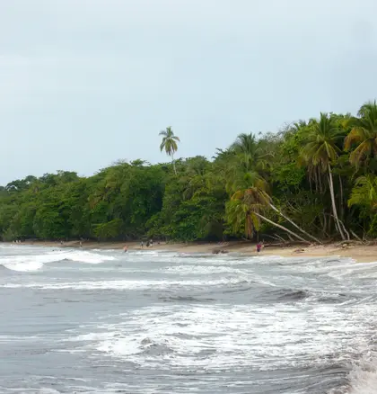
Cahuita
A reef you can walk to from town. Playa Blanca runs on donations.
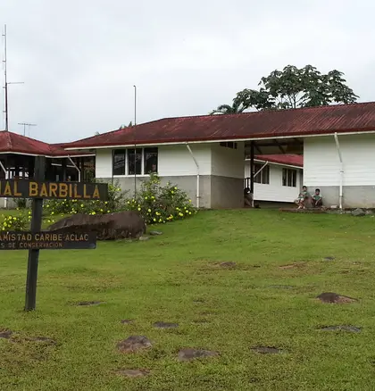
Barbilla
Rainforest south of Siquirres, with a guided river hike. Few people, gravel road in.
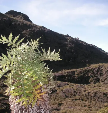
Chirripó
The highest peak in the country. A booked permit, a 3 a.m. start, and a night at the base lodge.
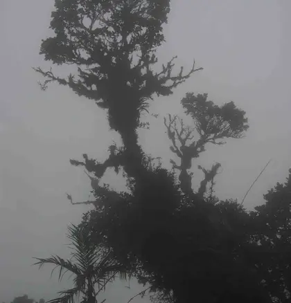
La Amistad
The largest park in the country, shared with Panama. Remote trails from the Coto Brus side.
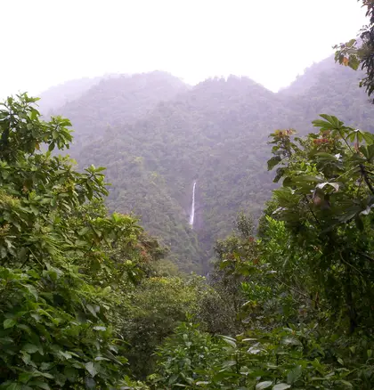
Tapantí
River and rainforest at the end of the Orosi road, a day trip from Cartago.
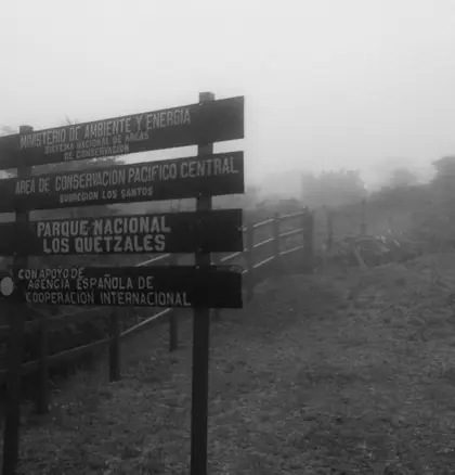
Los Quetzales
Cold oak forest at km 76, for quetzals. Pair it with a night in San Gerardo de Dota.