- The river hike is guided, as of 5 Oct 2026.
- The road in is gravel, as of 5 Oct 2026.
Barbilla National Park
Costa Rica
Rainforest south of Siquirres, with a guided river hike. Few people, gravel road in.
Check before you go
Facts
Hike: A guided river hike.
Road: Gravel, south of Siquirres.
Fee: Fees differ for foreigners and for residents. SINAC posts the figure, and it usually includes IVA, as of Oct 2026.
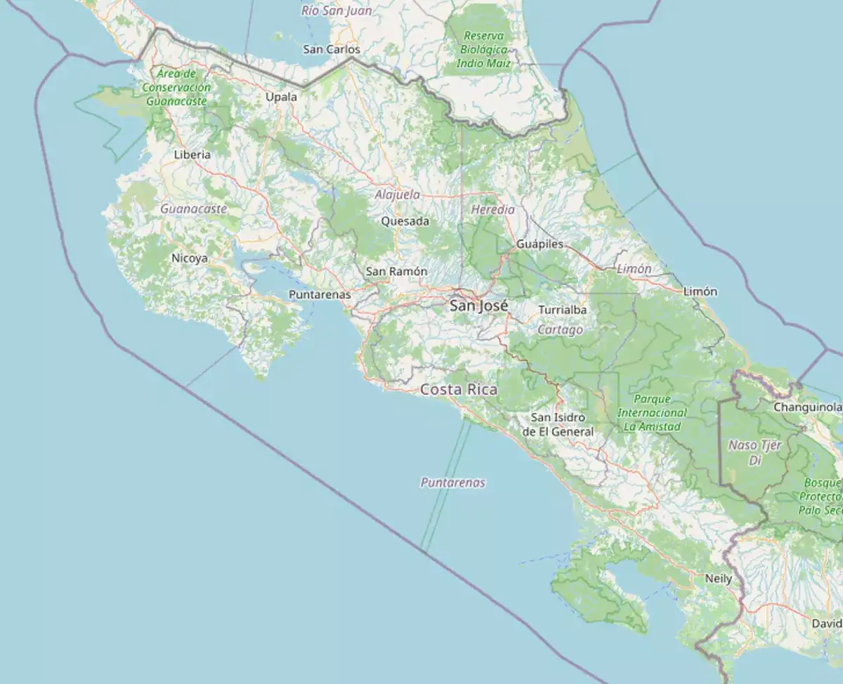
Map
- The riverA guided hike. You do not wade it on your own.
Rainforest and the river, with a guide. Few other people.
Gravel south of Siquirres, then a guided hike.
In the morning, with the guide already arranged.
South of Siquirres, inland from the Caribbean coast.
Yes. The river hike is guided.
Fees differ for foreigners and for residents. SINAC posts the figure, and it usually includes IVA, as of Oct 2026.
Go in the morning. Gravel plus a river hike is the day.
Yes. The river hike is guided.
Go with the guide. Do not wade the river on your own.
Thinking about living in Barbilla?
See homes and land for sale in Barbilla through Costa Rica MLS, or ask a local agent a question.
Parks near
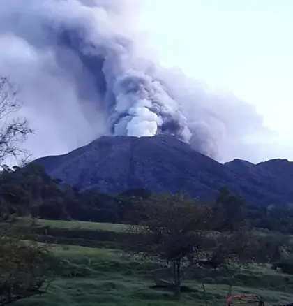
Turrialba Volcano
An active volcano east of Cartago. Book ahead and check the alert level before you drive.
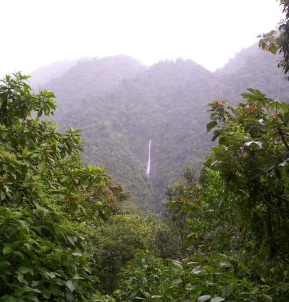
Tapantí
River and rainforest at the end of the Orosi road, a day trip from Cartago.
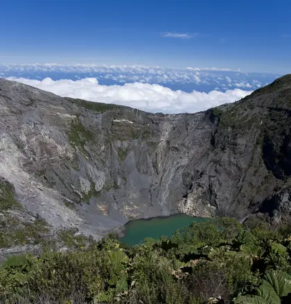
Irazú Volcano
The highest volcano, a drive above Cartago. Go early: the craters cloud over by noon.
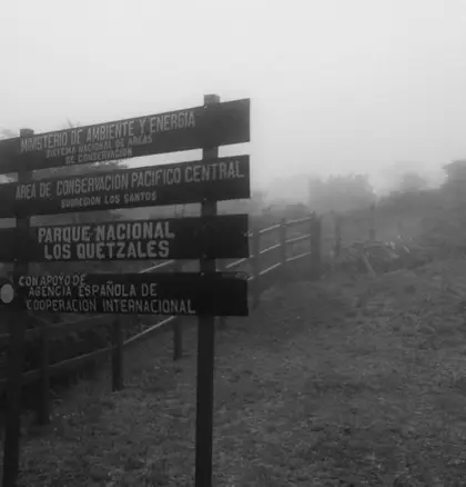
Los Quetzales
Cold oak forest at km 76, for quetzals. Pair it with a night in San Gerardo de Dota.
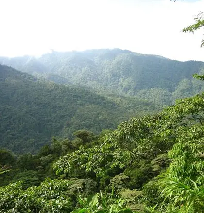
Braulio Carrillo
Cloud and rainforest on the road to the Caribbean, and a cold crater lagoon above Heredia.
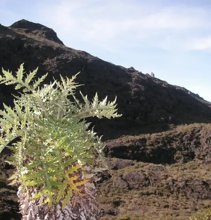
Chirripó
The highest peak in the country. A booked permit, a 3 a.m. start, and a night at the base lodge.