- Open every day, holidays included, 8:00–15:30, as of 31 Oct 2026.
- Pay at the entrance by credit or debit card. Cash is not accepted, as of 31 Oct 2026.
- Non-residents pay US$5.65, adults and children 2–12 alike, VAT included, as of 31 Oct 2026.
- There is no visitor car park. Park along the main road, as of 31 Oct 2026.
Guayabo National Monument
Costa Rica
One of Costa Rica's most important archaeological sites, near Turrialba. Stone mounds, causeways and aqueducts in the forest.
Check before you go
Facts
Run by: SINAC, Central Conservation Area (ACC).
Created: 13 August 1973.
Size: 232 ha of forest around a 20 ha archaeological site.
Lived in: About 1000 BC to 1400 AD, at its height around 800 AD.
Fee: Non-residents US$5.65. Nationals and residents ₡1,130 adult, ₡565 child. VAT included. Card only.
Contact
Monument office: +506 2559 1220
Entrance booth: +506 2559 0117
SINAC Central Conservation Area: acc.info@sinac.go.cr
Checked with official sources, as of 31 Oct 2026.
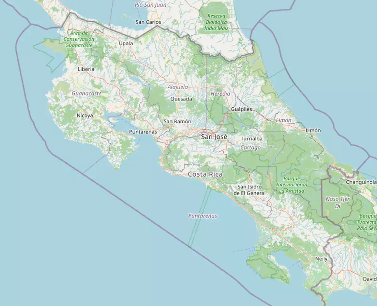
Map
- Sendero Los Montículos: Through the forest to the site, ending at a lookout over the mounds.
- Mounds: Round stone bases of different sizes that held wooden houses.
- Causeways and aqueducts: Stone roads that run for kilometres, and open and underground channels that carried water to stone tanks.
- Sendero Canto del Agua: A natural trail beside the Lajitas river and the La Chanchera stream.
The remains of a pre-Columbian settlement, probably the seat of a regional chief, lived in from about 1000 BC to 1400 AD. It has 43 mounds, 3 aqueducts, 2 plazas and 2 causeways.
Non-residents pay US$5.65, adults and children 2–12 alike. Nationals and residents pay ₡1,130 per adult and ₡565 per child. Under-2s and nationals or residents over 65 enter free. Card only.
No, but a guide explains much more. Certified guides from the local association U-SURE lead walks of about 1.5 hours. Hire them only at the entrance.
In 2009 the American Society of Civil Engineers named it an International Historic Civil Engineering Landmark, for its stone roads, retaining walls, underground channels, water supply and drainage.
Stay on the trails. Don't climb on, mark or move the stones, and take nothing away. No pets, smoking, alcohol, bicycles or loud music.
Parks near
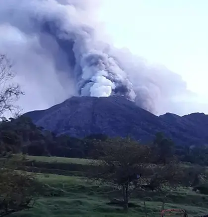
Turrialba Volcano
An active volcano east of Cartago. Book ahead and check the alert level before you drive.
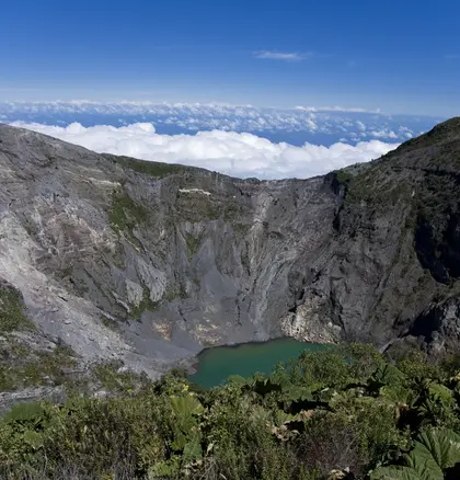
Irazú Volcano
The highest volcano, a drive above Cartago. Go early: the craters cloud over by noon.
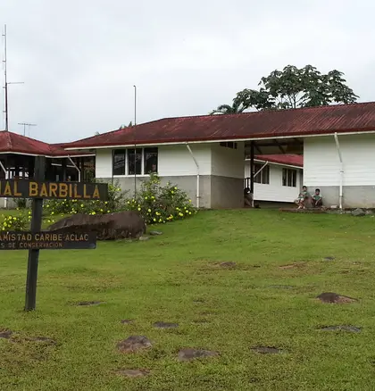
Barbilla
Rainforest south of Siquirres, with a guided river hike. Few people, gravel road in.
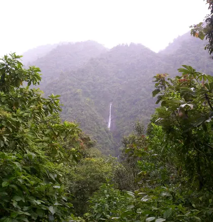
Tapantí
River and rainforest at the end of the Orosi road, a day trip from Cartago.
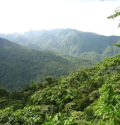
Braulio Carrillo
Cloud and rainforest on the road to the Caribbean, and a cold crater lagoon above Heredia.
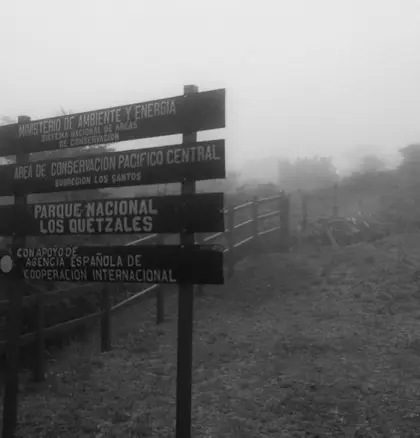
Los Quetzales
Cold oak forest at km 76, for quetzals. Pair it with a night in San Gerardo de Dota.