- The trail is about 3 km, and it is muddy, as of 5 Oct 2026.
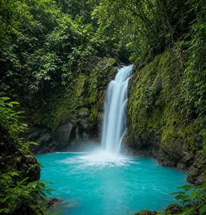
- You go for the waterfall and the place the color starts, as of 5 Oct 2026.
Tenorio Volcano National Park (Río Celeste)
Costa Rica
The blue river near Bijagua. A muddy 3 km trail to the waterfall and the place the color starts.
Check before you go
Facts
Trail: About 3 km, and muddy.
Base: Near Bijagua.
Fee: Fees differ for foreigners and for residents. SINAC posts the figure, and it usually includes IVA, as of Oct 2026.
Map
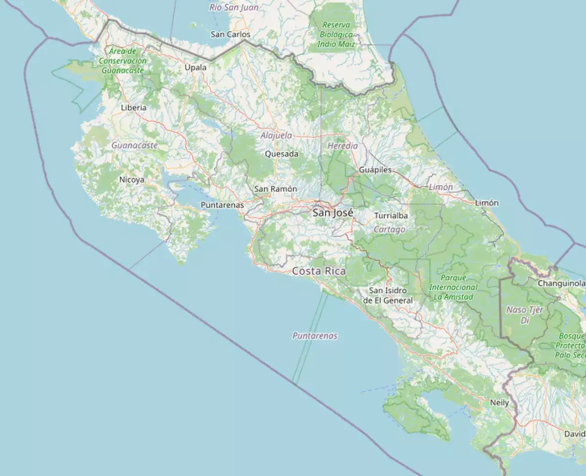
- Río CelesteThe blue river. The color starts at one point on the trail.
- The waterfallAbout 3 km in, on a muddy path. Go in the morning.
The blue river and the waterfall. The trail is muddy.
From Bijagua. The walk is about 3 km to the waterfall.
Go in the morning. Mud is the normal condition, not a surprise.
Bijagua is the town. Plan it from the north, not as a stop between beaches.
Go in the morning. The trail is the commitment.
Fees differ for foreigners and for residents. SINAC posts the figure, and it usually includes IVA, as of Oct 2026.
Start in the morning. Three muddy kilometers is the visit, not a quick look.
No. Stay on the trail. It is muddy.
Stay on the trail. Do not step into the colored water.
Where to stay
Bijagua is the town for the blue river.
Bijagua
Costa Rica
A small town west of the lake, for the blue water at Río Celeste.
Thinking about living in Tenorio Volcano?
See homes and land for sale in Tenorio Volcano through Costa Rica MLS, or ask a local agent a question.
Parks near
Miravalles
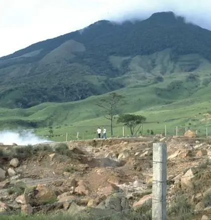
The newest volcano park, north of Bagaces. Not set up for visitors yet; the hot springs nearby are private.
Rincón de la Vieja Volcano
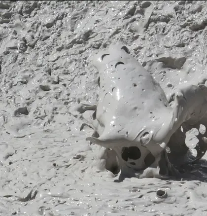
Mud pots, fumaroles, and waterfalls an hour from Liberia. Las Pailas closes Mondays.
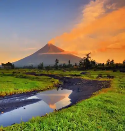
Arenal Volcano
The cone is the view, not the climb. Lava-flow trails and lake views west of La Fortuna.
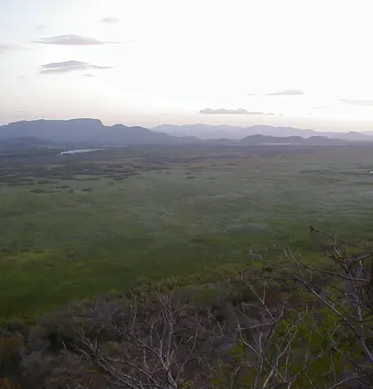
Palo Verde
Wetlands on the Tempisque, full of birds from September to March. Gravel from Bagaces.
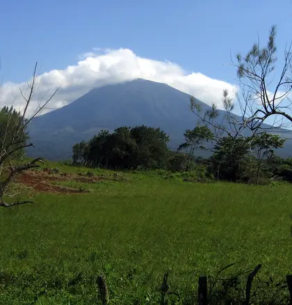
Guanacaste
Two volcanoes and research stations north of Liberia. You arrange it with Santa Rosa first.
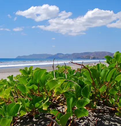
Santa Rosa
Dry forest, a battle museum, and a far surf beach north of Liberia. Closed Tuesdays.