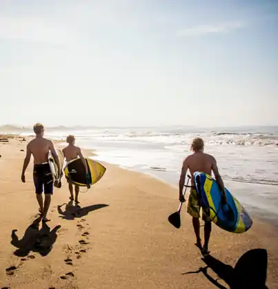
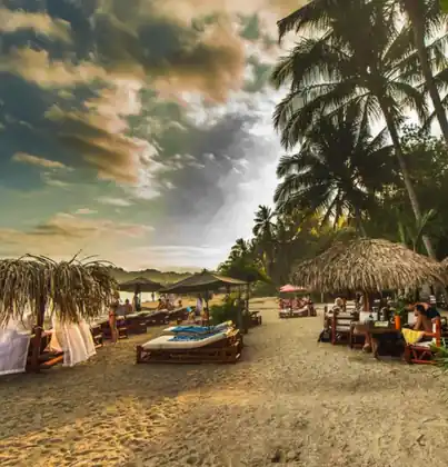
- Santa Teresa beach: Long open sand, a shore break, and little shade by noon. Swim early, then walk. At noon you get around on the dirt road, not the hot sand.
- Playa Carmen: The main crossroad is the busy stretch of this beach. Watch a set. If it is closing out, do not push through it. This is not a sheltered bay.
- Malpais: The south end is quieter and rockier, a slow ride on the same dirt road. Go before the heat. It is not the peak sitting at the crossroad.
- Cabo Blanco Reserve: Past the south end, the reserve at the tip is often shut one weekday. Ask before the drive. Trails are a morning, on the marked path to the beach.
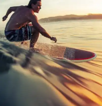
- Surf breaks: Peaks along this beach change with the tide. The cleaner hour is early. A first lesson stays in the whitewater, not on the outside bar.
- Montezuma waterfalls: Drive the hills, then walk to a cold lower pool on slick rock. The road back is slow, so this will not fit after the sun is already dropping.
- Sunset path: The dirt road and the sand both face west. Walk down early and sit. After dark the road has holes and no lamps. It is a view, not a swim.
- Tide pools: Rocky sections hold pools at low tide and lose them when the water comes up. Shoes help here. Do not treat a pool as a path out through the wave.
- Yoga shalas: Open air rooms line the dirt road. Go early, then use the beach. An afternoon hour in a hot room is not a swim, and it is not a view of the water.
- Snorkeling coves: Use the rocky ends on a calm morning only. If the beach is already big and messy, leave the mask. Clear water here depends on the day.
For breaks and seasons, see Surf in Costa Rica. For studios and retreats, see yoga in Costa Rica.
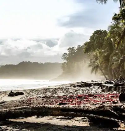
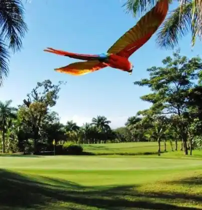
The landscape is beach, dirt-road town, and forest. You are likely to see howler monkeys, white-faced capuchins, iguanas, pelicans and butterflies. The plants around them are moist forest, coconut palm, beach almond and Cabo Blanco trees.
Around Santa Teresa, howlers call from the forest off the dirt road at first light. By noon the beach is sun and surf. The monkeys are not on the sand in front of the shops.
Cabo Blanco Absolute Nature Reserve, plus local limits on beach driving and night lights in turtle season.
In Santa Teresa, nesting beaches need low lights and a guide who follows the rules. On the trails, stay on the marked path.
The climate is tropical, hotter and drier than the south coast, wetter than northern Guanacaste. Temperatures are about 26–32°C. Santa Teresa rises from sea level to 25 m (80 ft).
In the greener months the morning is still usable, and the rain tends to wait until afternoon. The countrywide calendar is in the best time to visit Costa Rica.
Most people start at Juan Santamaría in Alajuela and continue by car. From the Central Valley, add time for the mountain roads.
The last stretch is slow, and often dirt. Leave while you still have daylight. Buses, shuttles, and rental cars are compared in getting around Costa Rica.