


The Caribbean and Pacific Coasts
A microcosm of the entire Americas, Costa Ricas coasts differ greatly from each other. The Caribbean coast is smooth, with sandy beaches and small tides. Just over 200 km in length (160 miles,) its lowlands are characterized by swamps, mangroves and year-round rains. There is an intracoastal waterway, with rivers flowing through much of the eastern and northeast parts of the country through forests and near-jungle land.
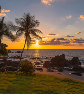
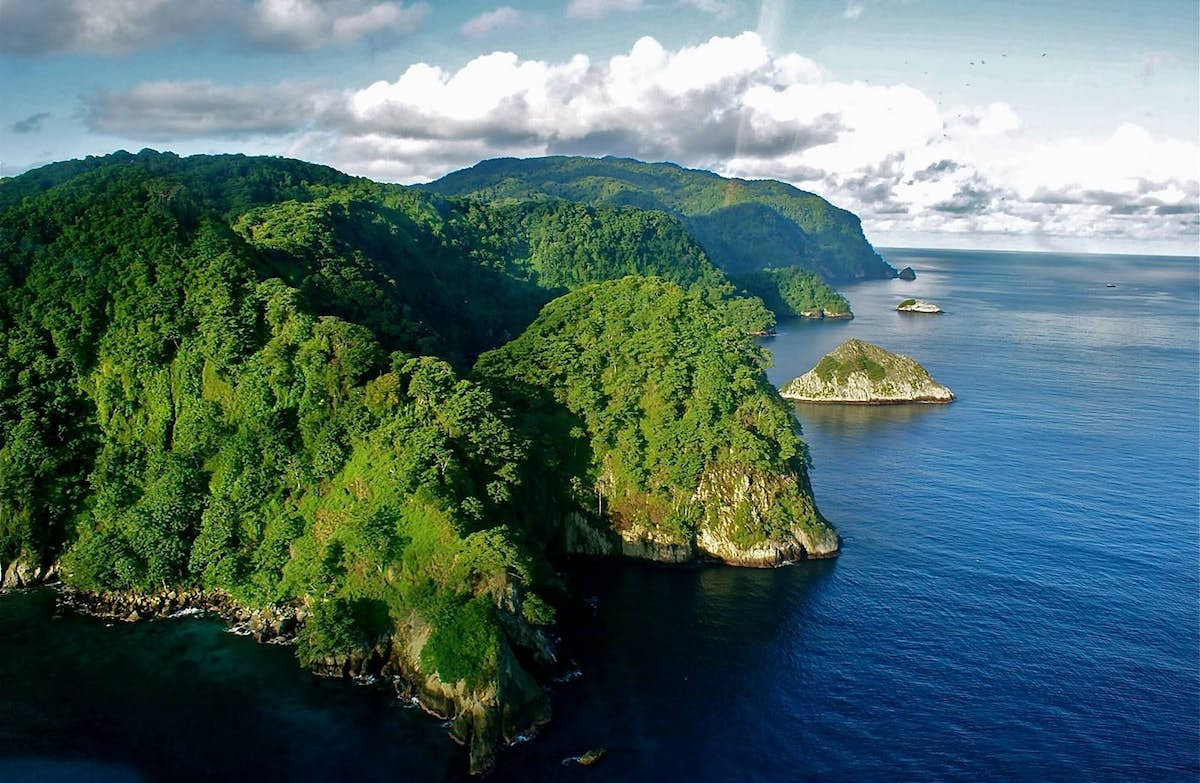
The west coast and its lowlands are very different, with elements common to the North and South American west coasts. Much of the coast itself is rugged and rocky, and spotted with gulfs and peninsulas. The tides vary greatly, and there are numerous islands offshore. The west coast ranges or just over 1,000 km (600 mi.) Some of its northern lowlands are tropical dry forests, which receive almost no rain for several months of the year; elsewhere, there are swamps and mangroves.
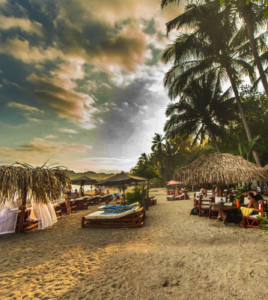
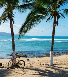
The west coast is also the home of most of Costa Rica’s more popular resorts and beaches, from the posh resort areas of Guanacaste in the north to the pristine (and legally protected) Playa Manuel Antonio to the south. Two of its peninsulas are particularly important; theNicoya, separated from the mainland by a gulf of the same name, and the Osa, separated by the Golfo Dulce. The Nicoya is hilly, dry and dusty from December to April, and hosts some of the country’s better beach resorts, as well as much of its cattle farming. The Oso is the location of the Corcovado National Park, one of Costa Rica’s most important protected rainforests.
Explore Costa Rica
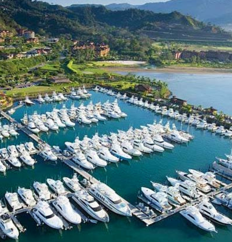
Costa Rica’s World Class Sportfishing
The sea, the fishing rod, the beautiful views and the company of friends, all together make one of the...
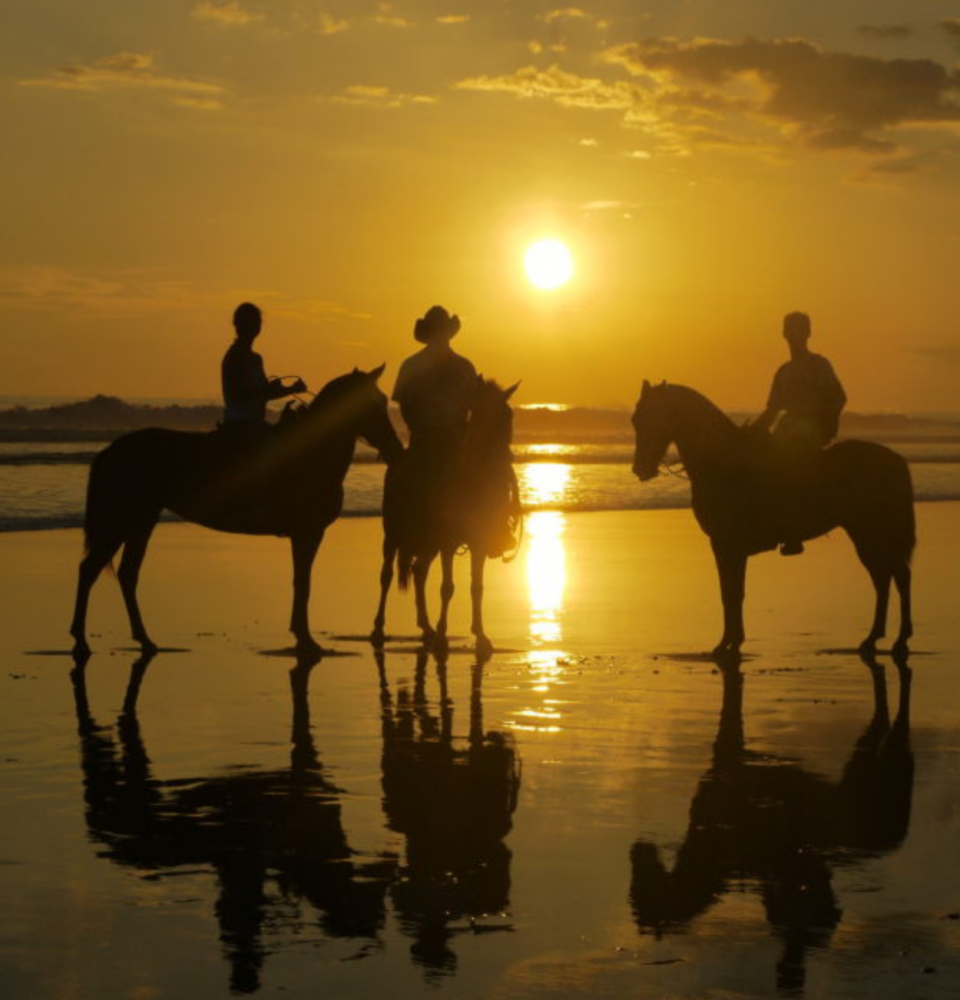
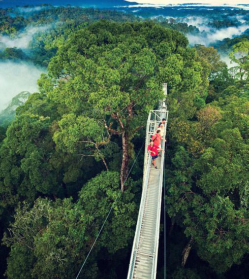
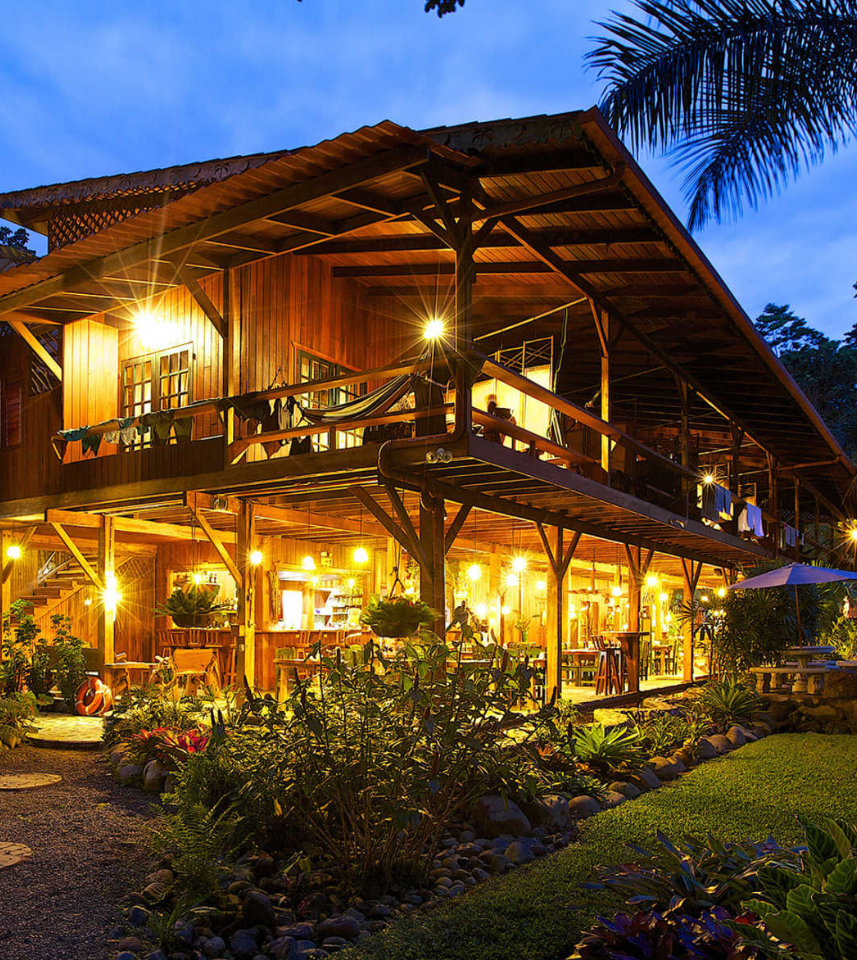
Essential Tours and Activities
An adventure-seeker’s paradise, Costa Rica offers many landscapes to discover and many enjoyable ways to discover them.

