Geography of Costa Rica

Costa Rica is aptly named as the “Rich Coast”
Costa Rica forms a tiny intersection between two continents and two oceans both. This unique geographical situation forms a natural bottleneck of biodiversity and geographical extremes. Mother nature has squeezed a mind-boggling five percent of the world’s biodiversity into this tiny country roughly the size of Denmark.

- The insect diversity of Costa Rica would make any entomologist blush with excitement.
- With over one thousand species of butterflies identified in Costa Rica.
- The nation is home to a full ten percent of the diversity of all the world’s butterflies.
Over eight-hundred species of ferns, one thousand different types of orchids, two thousand kinds of trees, and two hundred species of mammals are found in Costa Rica.
Costa Rica is home to more bio diversity then anywhere else on the planet.
There are five main geographical areas in Costa Rica, the tropical lowlands (Pacific and Caribbean coasts), the north central plains, the central valley, and the northwest peninsula. Political divisions make up seven provinces: Guanacaste, Alajuela, Heredia, Limon, Cartago, San Jose and Puntarenas. Almost all the provinces include rivers, mountains, valleys and volcanos.
Learn MoreTemperature varies mainly according to elevation, with higher elevations receiving cooler temperatures, with very little temperature extremes in any part of Costa Rica. The rainy season lasts from May through November, generally, and the dry season lasts from February to April. Costa Rica’s rain falls mainly on the Caribbean coast, giving the Pacific a much more arid climate.
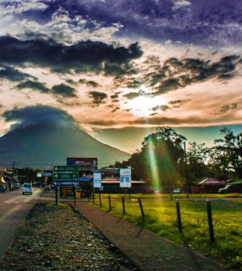
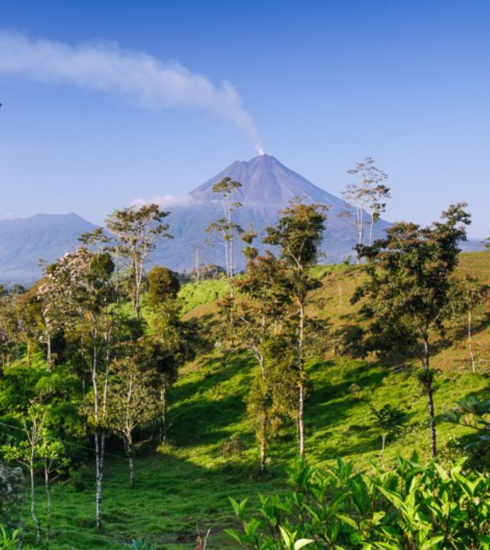
Being coastal plain, separated by very rugged and dramatic ancient volcanic mountains, the country is split by this mountainous spine formed by the Cordillera Central and the Cordillera de Talamanca ranges which separate the Pacific and Caribbean watersheds. Costa Rica has ports on both the Caribbean and Pacific sides, separated by 153 miles of sometimes arduous, sometimes white-knuckle freeway driving. The spine, composed of sixty dormant or extinct volcanoes and six active volcanoes, produces several major river systems. Draining to the Caribbean side are Costa Rica’s most vigorous rivers, the Colorado, Pacuare, Parismina, Reventazon, and the Sixaola. Meandering down the Pacific plains in less dramatic fashion are the Coribici, Tenorio, and numerous other tributaries that empty into the great Tempisque Basin at the Gulf of Nicoya, as well as the rather contaminated Tarcoles river which empties into the Pacific as well. Penas Blancas begins in the Monteverde area flowing westward, and further south down towards Manuel Antonio are the Savegre, Naranjo, and Tres Damas estuary. Flowing into the massive San Juan on the northern border with Nicaragua are the San Carlos, Rio Frio, and the Medio Queso.


